-
 Anglický jazyk
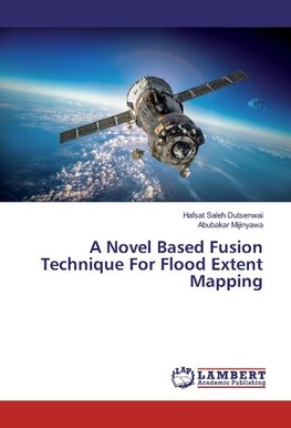
A Novel Based Fusion Technique For Flood Extent Mapping
Autor: Hafsat Saleh Dutsenwai
Image fusion is the process of combining two or multiple images to obtain a more detailed and quality information. The rapid development of image fusion in remote sensing began in the past few decades based on either the pixel, feature or decision levels.... Viac o knihe
Na objednávku
46.17 €
bežná cena: 51.30 €
O knihe
Image fusion is the process of combining two or multiple images to obtain a more detailed and quality information. The rapid development of image fusion in remote sensing began in the past few decades based on either the pixel, feature or decision levels. Past researches have advised the use of multi sensor data for a more successful fusion such as radar and optical. However fusion of SAR and Optical data is still not reliable because the possibility of having both remote sensing data (SAR and Optical) is difficult in some cases due to its incompatibility with all weather conditions. This study carried out fusion of three multi resolution SAR data of Preflood (RadarSAT-1), during flood (TerraSAR-X) and post flood (RadarSAT-1) to map flood extent. We combined the three SAR images of different spatial resolution to form a new image that contains more interpretable information and improvement of boundaries. Some recent articles integrated between radar images with multi bands. However, this research project integrated single band SAR images and investigated the efficacy in providing more interpretable information that can aid in addressing the flood disastrous challenges in the area.
- Vydavateľstvo: LAP Lambert Academic Publishing
- Rok vydania: 2016
- Formát: Paperback
- Rozmer: 220 x 150 mm
- Jazyk: Anglický jazyk
- ISBN: 9783659805837



 Nemecký jazyk

