-
 Anglický jazyk
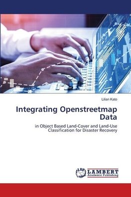
Integrating Openstreetmap Data
Autor: Lilian Kato
Land cover and land use (LCLU) change is a very important indicator that can assist in the monitoring and assessment of both physical and functional recovery. Its fundamental approach rests on change assessment comparing the situation before, the immediate... Viac o knihe
Na objednávku
36.99 €
bežná cena: 41.10 €
O knihe
Land cover and land use (LCLU) change is a very important indicator that can assist in the monitoring and assessment of both physical and functional recovery. Its fundamental approach rests on change assessment comparing the situation before, the immediate post-disaster situation and later the recovery stage through image classification. Remote sensing (RS) imagery provides spatial, spectral and contextual information that can assist in the LCLU classification. However, this works well with the classification of land cover (LC) but not for land use (LU) as it fails to capture information on the building use and function which are highly significant in LU classification. OpenStreetMap (OSM) data have been an emerging data source for providing base map information (roads, buildings, etc) on the ground. Most of the studies conducted using OSM data have been mainly concentrated on OSM data quality issues, but the potential of OSM data in disaster recovery assessment has been less explored. Therefore, the main objective of this study was to investigate the potential of using RS imagery and OSM data in LCLU classification for improving the understanding of post-disaster recovery.
- Vydavateľstvo: LAP LAMBERT Academic Publishing
- Rok vydania: 2020
- Formát: Paperback
- Rozmer: 220 x 150 mm
- Jazyk: Anglický jazyk
- ISBN: 9786202514187




 Nemecký jazyk