-
 Anglický jazyk
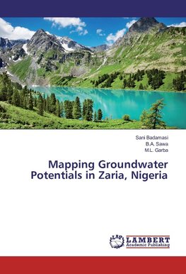
Mapping Groundwater Potentials in Zaria, Nigeria
Autor: Sani Badamasi
This study attempted to map out groundwater potentials in Zaria, Nigeria. Groundwater is a very important source for water supply, yet it is variable in space. In some places within the study area it was observed that there are frequent occurrences of well/borehole... Viac o knihe
Na objednávku
36.99 €
bežná cena: 41.10 €
O knihe
This study attempted to map out groundwater potentials in Zaria, Nigeria. Groundwater is a very important source for water supply, yet it is variable in space. In some places within the study area it was observed that there are frequent occurrences of well/borehole dry-up. Therefore, it is important to assess the variation of groundwater in the area in order to enhance its exploration as well as conserving and managing the resource. Landsat ETM+ and GDEM by ASTER, conventional data as well as meteorological data were used to characterize the underground resource by direct observation of the surface and subsurface hydrologic controlling factors. Based on these factors eight thematic maps of drainage density, geology, geomorphology, land cover, lineament, rainfall, slope, and soil were developed. The influence of each theme to groundwater recharge was assessed using the analytical hierarchical process (AHP),and then weighted. The groundwater was mapped in five categories of very good, good, moderate, low, and very low using ArcGIS. This book can interest people in the water supply industry, government water supply agencies, and those concern with conducting groundwater studies.
- Vydavateľstvo: LAP Lambert Academic Publishing
- Rok vydania: 2016
- Formát: Paperback
- Rozmer: 220 x 150 mm
- Jazyk: Anglický jazyk
- ISBN: 9783659952470


 Nemecký jazyk

