-
 Anglický jazyk
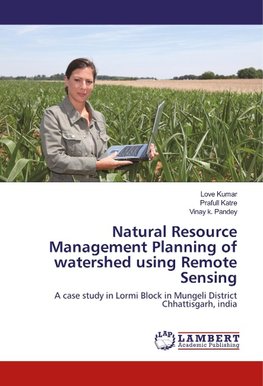
Natural Resource Management Planning of watershed using Remote Sensing
Autor: Love Kumar
Satellite remote sensing data have the advantage of providing up-to-date and comprehensive information needed for systematic and scientific planning of watershed development activities. It provides spatial information on drainage, stream, tank, land-use/land... Viac o knihe
Na objednávku
46.17 €
bežná cena: 51.30 €
O knihe
Satellite remote sensing data have the advantage of providing up-to-date and comprehensive information needed for systematic and scientific planning of watershed development activities. It provides spatial information on drainage, stream, tank, land-use/land cover, geology, soils and many other natural entites etc. Many studies have been carried out with the objective to delineate the watershed, to prepare thematic layers and to generate land and water resource action plan for their efficient management and use. Geographical Information System (GIS) with its capability of integration and analysis of spatial, aspatial, multi-layered information obtained in a wide variety of formats both from remote sensing and other conventional sources has proved to be an effective tool in planning for watershed development programmes.
- Vydavateľstvo: LAP LAMBERT Academic Publishing
- Rok vydania: 2017
- Formát: Paperback
- Rozmer: 220 x 150 mm
- Jazyk: Anglický jazyk
- ISBN: 9786202081801
 Nemecký jazyk

