-
 Anglický jazyk
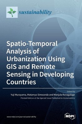
Spatio-Temporal Analysis of Urbanization Using GIS and Remote Sensing in Developing Countries
Autor: Yuji Murayama
Over the last two decades, many researchers have focused on developing countries' urbanization patterns and processes. In this context, the scarcity of spatial data has been an obstacle to studying urbanization quantitatively, especially in Asian and African... Viac o knihe
Na objednávku
97.65 €
bežná cena: 108.50 €
O knihe
Over the last two decades, many researchers have focused on developing countries' urbanization patterns and processes. In this context, the scarcity of spatial data has been an obstacle to studying urbanization quantitatively, especially in Asian and African cities. The use of remote sensing data and geographical information systems (GIS) techniques can overcome the above limitations. Data on land use and land cover, land surface temperature, population density, and energy consumption can be extracted based on remote sensing at various spatial and temporal resolutions. GIS techniques can be used to analyze urbanization patterns and predict future patterns. Thus, the link between urbanization and sustainable urban development has increasingly become a principal issue in designing and developing sustainable cities at the local, regional, and global levels. This volume shows the spatiotemporal analysis of urbanization using GIS and remote sensing in developing countries, with a special emphasis on future urban sustainability in Asia and Africa. Capturing the spatial-temporal variation of urbanization patterns will help introduce proper sustainable urban planning in developing countries, especially for Asian and African cities.
- Vydavateľstvo: MDPI AG
- Rok vydania: 2021
- Formát: Hardback
- Rozmer: 250 x 175 mm
- Jazyk: Anglický jazyk
- ISBN: 9783036525419


