-
 Anglický jazyk
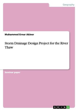
Storm Drainage Design Project for the River Thaw
Autor: Muhammed Ernur Akiner
Seminar paper from the year 2015 in the subject Geography / Earth Science - Physical Geography, Geomorphology, Environmental Studies, grade: 3, , language: English, abstract: Hydrology has been defined as the study of the occurrence, circulation and distribution... Viac o knihe
Na objednávku
9.27 €
bežná cena: 10.30 €
O knihe
Seminar paper from the year 2015 in the subject Geography / Earth Science - Physical Geography, Geomorphology, Environmental Studies, grade: 3, , language: English, abstract: Hydrology has been defined as the study of the occurrence, circulation and distribution of water over the world's surface. It covers a vast area of endeavour and is not the exclusive preserve of civil engineers. Engineering hydrology is concerned with the quantitative relationship between rainfall and runoff and, in particular, with the magnitude and time variations of runoff. This is because all water resource schemes require such estimates to be made before design of the relevant structures may proceed (Chow et al., 1988). Examples include reservoir design, Rood alleviation schemes and land drainage. Each of these examples involves different aspects of engineering hydrology, and all involve subsequent hydraulic analysis before safe and economical structures can be constructed (Viessman et al., 1989). The most common use of engineering hydrology is the prediction of design events. This may be considered analogous to the estimation of design loads on structures. Design events do not mimic nature, but are merely a convenient way of designing safe and economical structures for water resources schemes. Civil engineers are principally concerned with the extremes of nature, design events may be either floods or droughts. The design of hydraulic structures will normally require the estimation of a suitable design flood and sometimes a design drought (Bedient and Huber, 1992). A large range of factors control the shape of hydrographs. These include: precipitation type and intensity, catchment shape, catchment gradient, land use and vegetation, soil type, geology etc. A hydrograph is the time-series record of water level, water flow or other hydraulic properties, and can be used to gain insights into the relationships between rivers and aquifers. Typically, a stream hydrograph shows the fluctuations in stream flow through time and is a commonly available dataset routinely measured to support the management of water resources. For a gaining stream, where groundwater is contributing to stream flow, analysis of the stream hydrograph can indicate the magnitude and timing of this contribution (Patra, 2001). Hydrographs are analyzed to find out discharge patterns of a particular drainage basin, Help predict flooding events, therefore influence implementation of flood prevention measures. Storm Hydrographs show the change in discharge caused by a period of rainfall. See Table 1 for the rainfall and river elevation data of River Thaw.
- Vydavateľstvo: GRIN Verlag
- Rok vydania: 2015
- Formát: Paperback
- Rozmer: 210 x 148 mm
- Jazyk: Anglický jazyk
- ISBN: 9783656875901



 Nemecký jazyk


