-
 Anglický jazyk
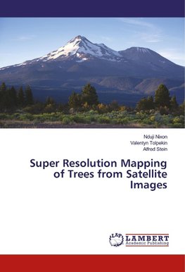
Super Resolution Mapping of Trees from Satellite Images
Autor: Nduji Nixon
The objective of this book is to address the reliability of individual tree crown objects detected from coarse resolution satellite images. It also provides useful information that will support the capacity of monitoring agricultural change in data sparse... Viac o knihe
Na objednávku
33.30 €
bežná cena: 37.00 €
O knihe
The objective of this book is to address the reliability of individual tree crown objects detected from coarse resolution satellite images. It also provides useful information that will support the capacity of monitoring agricultural change in data sparse regions or developing countries of the world. Mapping of trees from satellite imageries in Africa and most developing countries of the world is quite challenging. The challenges can be attributed to the indiscriminate planting of trees dispersed within heterogeneous and indistinct fields, widespread shortage of up to date agricultural data which is partly due to lack of funds, poor government policies and restrictions to finer resolution imageries due to security concerns. Despite these limitations, satellite imageries still remain a viable option to mapping agricultural information in data sparse regions of the world. With the launching of Sentinel satellite missions by the European space agency (ESA), medium and coarse resolution satellite imageries has become freely available at much better scale. Therefore, most developing countries will like to leverage on this opportunity for up to date monitoring of the environment.
- Vydavateľstvo: LAP LAMBERT Academic Publishing
- Rok vydania: 2018
- Formát: Paperback
- Rozmer: 220 x 150 mm
- Jazyk: Anglický jazyk
- ISBN: 9786134969352




 Nemecký jazyk


