-
 Anglický jazyk
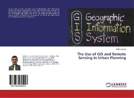
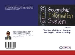
The Use of GIS and Remote Sensing in Urban Planning
Autor: Nadim Jamali
In this study, our main objectives were to identify best LULC classification method of remote sensing data for the city of Riyadh; map, and measure the spatial growth of Riyadh city; predict the future growth of the city; and to compare with master plan... Viac o knihe
Na objednávku
33.30 €
bežná cena: 37.00 €
O knihe
In this study, our main objectives were to identify best LULC classification method of remote sensing data for the city of Riyadh; map, and measure the spatial growth of Riyadh city; predict the future growth of the city; and to compare with master plan of the city, finally recommendation to control growth of Riyadh city. In doing so, this study has made several theoretical and empirical contributions.
- Vydavateľstvo: LAP LAMBERT Academic Publishing
- Rok vydania: 2017
- Formát: Paperback
- Rozmer: 220 x 150 mm
- Jazyk: Anglický jazyk
- ISBN: 9783659955297





 Nemecký jazyk
 Ruský jazyk