-
 Anglický jazyk
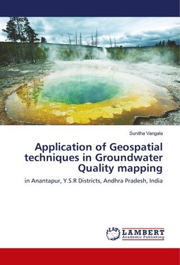
Application of Geospatial techniques in Groundwater Quality mapping
Autor: Sunitha Vangala
Sustainable water resources development and management necessarily depends on proper planning, implementation, operation and maintenance. The interpretation of Remote Sensing data & GIS in conjunction with conventional data and sufficient ground truth information... Viac o knihe
Na objednávku, dodanie 2-4 týždne
36.99 €
bežná cena: 41.10 €
O knihe
Sustainable water resources development and management necessarily depends on proper planning, implementation, operation and maintenance. The interpretation of Remote Sensing data & GIS in conjunction with conventional data and sufficient ground truth information makes it possible to identify and outline various ground features such as geological structures, geomorphic features and their hydrologic characters that may serve as direct or indirect indicators of the presence of ground and surface water. An integrated survey based on satellite image interpretation corroborated with limited field checks were carried out with a view to delineate the ground water potential of, Anantapur, Y.S.R, Districts Andhra Pradesh are discussed in this book.
- Vydavateľstvo: LAP LAMBERT Academic Publishing
- Rok vydania: 2018
- Formát: Paperback
- Rozmer: 220 x 150 mm
- Jazyk: Anglický jazyk
- ISBN: 9786139992447


 Nemecký jazyk

