-
 Anglický jazyk
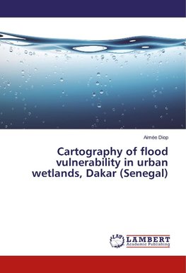
Cartography of flood vulnerability in urban wetlands, Dakar (Senegal)
Autor: Aimée Diop
Integrated a GIS and Multicriteria Evaluation Approach for Mapping Flood Vulnerability of Buildings from land use in the wetlands of the "Grande Niaye" of Dakar (Senegal). Located in the Dakar agglomeration, the Grande Niaye watershed has the particularity... Viac o knihe
Na objednávku, dodanie 2-4 týždne
32.56 €
bežná cena: 37.00 €
O knihe
Integrated a GIS and Multicriteria Evaluation Approach for Mapping Flood Vulnerability of Buildings from land use in the wetlands of the "Grande Niaye" of Dakar (Senegal). Located in the Dakar agglomeration, the Grande Niaye watershed has the particularity of containing the remnants of the wetlands called "Niayes". The Communes located in this watershed are confronted with the recurrence of the floods. However, although the climatic factor is very often cited, pre-existing vulnerabilities related to poorly controlled land use prevail in some areas. The aim of this study is therefore to carry out a spatial analysis of vulnerability to flooding through the dynamics of land use from 1942 to 2014. The mapping of satellite imagery and aerial photos using GIS tools made it possible to perceive the great mutations in the study area and to identify the areas most vulnerable to flooding that are occupied by the built environment.
- Vydavateľstvo: LAP LAMBERT Academic Publishing
- Rok vydania: 2017
- Formát: Paperback
- Rozmer: 220 x 150 mm
- Jazyk: Anglický jazyk
- ISBN: 9786202058216


