-
 Anglický jazyk
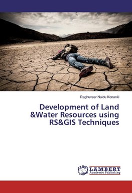
Development of Land &Water Resources using RS&GIS Techniques
Autor: Raghuveer Naidu Konanki
"Micro-level planning for the Development of Land and Water Resources in Kalyandurg Area of Anantapur District, Andhra Pradesh, India: Using Remote Sensing and GIS Techniques" Kalyandurg area is the most chronicle drought prone part and also the most backward... Viac o knihe
Na objednávku, dodanie 2-4 týždne
76.77 €
bežná cena: 85.30 €
O knihe
"Micro-level planning for the Development of Land and Water Resources in Kalyandurg Area of Anantapur District, Andhra Pradesh, India: Using Remote Sensing and GIS Techniques" Kalyandurg area is the most chronicle drought prone part and also the most backward area located on western side of Anantapur district. Soil cover in the study area is predominantly red loamy soils followed by black soils and alluvial soils. Natural vegetation is very thin and scanty and mostly thorn scrub jungle type. The terrain is largely undulating and closely disclosing the characteristic feature of plateau topography. The study region is predominantly agricultural in its economy and hence the development of agriculture is crucial and forms the basis of socio-economic development of the living population. In this study both visual and digital (computer) techniques have been employed to analyze the resources using satellite data (LISS-IV + Cartosat-1 and other satellite data) as well as conventional data. The Land Use and Land Cover (LULC) maps for two periods i.e. 2000 and 2012 were prepared and presented, classify the Soils and the climatic parameters such as rainfall, temperature& surface water etc.
- Vydavateľstvo: LAP LAMBERT Academic Publishing
- Rok vydania: 2016
- Formát: Paperback
- Rozmer: 220 x 150 mm
- Jazyk: Anglický jazyk
- ISBN: 9783659821660




 Nemecký jazyk