-
 Anglický jazyk
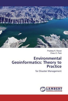
Environmental Geoinformatics: Theory to Practice
Autor: Pradeep K. Rawat
Geoinformatics (comprises of field surveys, GPS surveys, Remote Sensing images and GIS software and hardware infrastructure) technology is incredibly useful and effective in disaster management. Remotely sensed data can be used very efficiently to assess... Viac o knihe
Na objednávku, dodanie 2-4 týždne
64.71 €
bežná cena: 71.90 €
O knihe
Geoinformatics (comprises of field surveys, GPS surveys, Remote Sensing images and GIS software and hardware infrastructure) technology is incredibly useful and effective in disaster management. Remotely sensed data can be used very efficiently to assess severity and impact of disasters perticularlly natural disasters (ie. floods, earthqucke, landslide, psunamy, cyclone etc.) at macro level as well as micro level. In the context of mountainous terrain this thechnology has been a miracle for emerging disaster risk management. Though each and every part of the world is more or less susceptible to natural calamities, the Himalaya Mountain due to its geological, geomorphological and geohydrological conditions experience natural disasters very frequently. The present work attempts to investigate the problem in a holistic framework through hydrological, geomorphological and socio-economic approach in a Lesser Himalayan watershed viz., the Dabka watershed in Uttarakhand State of India.
- Vydavateľstvo: LAP LAMBERT Academic Publishing
- Rok vydania: 2016
- Formát: Paperback
- Rozmer: 220 x 150 mm
- Jazyk: Anglický jazyk
- ISBN: 9783330022881


 Nemecký jazyk


