-
 Anglický jazyk
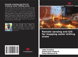
Remote sensing and GIS for mapping water drilling areas
Autor: Labe Simplice
The region of Daloa located in the center-west of Côte d'Ivoire, like all the other regions of the country is subject to a thorny problem of drinking water supply, especially during the dry season. Most of the wells drilled in this region have very low flow... Viac o knihe
Na objednávku, dodanie 2-4 týždne
36.99 €
bežná cena: 41.10 €
O knihe
The region of Daloa located in the center-west of Côte d'Ivoire, like all the other regions of the country is subject to a thorny problem of drinking water supply, especially during the dry season. Most of the wells drilled in this region have very low flow rates (1 to 2 m3/h). This region is therefore supplied by surface water. These surface waters are often polluted by human activities and undergo eutrophication during the dry season. It is therefore important to turn to groundwater that is protected from seasonal fluctuations and pollution. The objective of this study is to identify the areas that are favorable for the implementation of large flow boreholes for the supply of drinking water. The exploitation of these groundwater requires the application of a series of indirect techniques including remote sensing, leading to an assessment of the groundwater potential of the Daloa region.
- Vydavateľstvo: Our Knowledge Publishing
- Rok vydania: 2021
- Formát: Paperback
- Rozmer: 220 x 150 mm
- Jazyk: Anglický jazyk
- ISBN: 9786204229874

 Nemecký jazyk