-
 Anglický jazyk
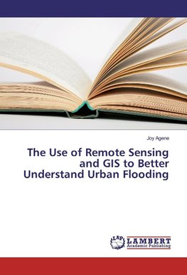
The Use of Remote Sensing and GIS to Better Understand Urban Flooding
Autor: Joy Agene
This research work was carried out to study the effect of urban growth along a river. Using the Delimi River in Jos Nigeria as a case study; the work investigated how land cover change from 1986 to 2010 has affected flooding in the area. The study shows... Viac o knihe
Na objednávku, dodanie 2-4 týždne
46.17 €
bežná cena: 51.30 €
O knihe
This research work was carried out to study the effect of urban growth along a river. Using the Delimi River in Jos Nigeria as a case study; the work investigated how land cover change from 1986 to 2010 has affected flooding in the area. The study shows that the vulnerability of people living in the flood prone area increased over the years and this is an indication that the flood event is progressive. Relevant authorities most especially government should provide mitigation measures by setting up flood management policies like converting flood plains and areas liable to flood to open spaces.
- Vydavateľstvo: LAP Lambert Academic Publishing
- Rok vydania: 2016
- Formát: Paperback
- Rozmer: 220 x 150 mm
- Jazyk: Anglický jazyk
- ISBN: 9783659915833


 Nemecký jazyk

